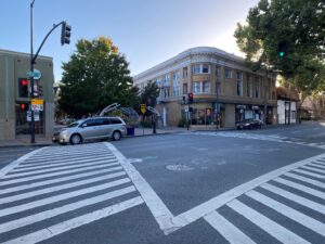
The Central Alameda County Comprehensive Multimodal Corridor Plan (CACCMCP) is a transportation planning document that identifies regionally significant projects that are planned in Central Alameda County. The study area begins in the vicinity of Lake Merritt in Oakland and continues south through San Leandro, the Ashland/Cherryland unincorporated areas of Alameda County and Hayward. It traverses along seven BART stations as well as downtown areas, schools and other major destinations.
These projects would implement specific performance improvements to reduce congestion along heavily-traveled corridors by providing more transportation choices for residents, commuters and visitors to the study corridor.
The CACCMCP is a planning effort that stems from a variety of significant planning work at the regional and local levels. Work on this plan started in the spring of 2022 and finalized in November 2022. Per state legislation, projects that have been included in a CMCP are eligible for funding from the Senate Bill 1 Solutions for Congested Corridors Program, which will help advance regional and state transportation clean air goals.
Development of the CACCMCP involved the formation of a Technical Advisory Committee (TAC) that would guide the preparation of the document. Community outreach was a significant element of the Plan and included meetings with community based organizations along the project corridor and an online interactive map for public input. The Plan also includes evaluation and prioritization of traffic congestion-relieving projects along study corridors.
Read the Final CACMCP: